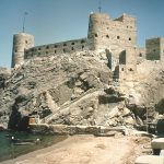
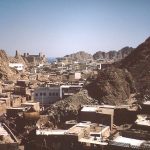
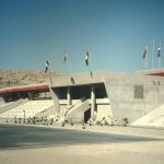
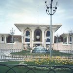
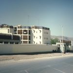
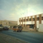
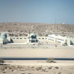
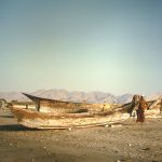
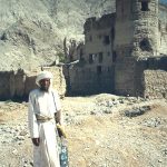
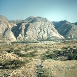
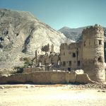
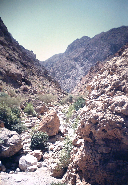
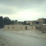
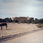
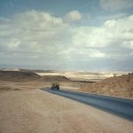
In 1974 infrastructure development was well under way. An asphalt road from Muscat to just beyond Seeb Airport, a power station under construction for a new town Medinat Qaboos near Mina al Fahal, Ruwi Muttrah and Muscat had municipal buildings, hospital, police station etc and school planning was also taking place. Movement on graded roads was hazardous due to dust, and the local population outside the main towns lived as they had done for centuries. Camels, donkeys, and walking were the means of transport, and the small non-military ex-patriot population was restricted to the area Muscat to Rissayl (just beyond Seeb) without permits to the interior and northern coast. Old and new is shown during the two year period.The Sayq Area photographs are supplemented by an article about the crises during the 1950s by Laurence Garey with a link on the Saiq thumbnails page to his site and some recent photographs.