Maps and Diagrams

Western Dhofar
Central Dhofar
Mirbat

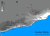
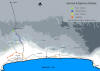
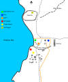
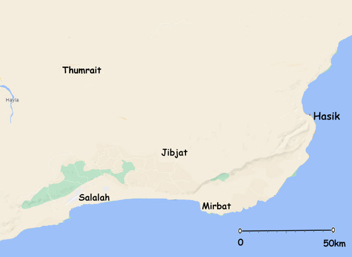
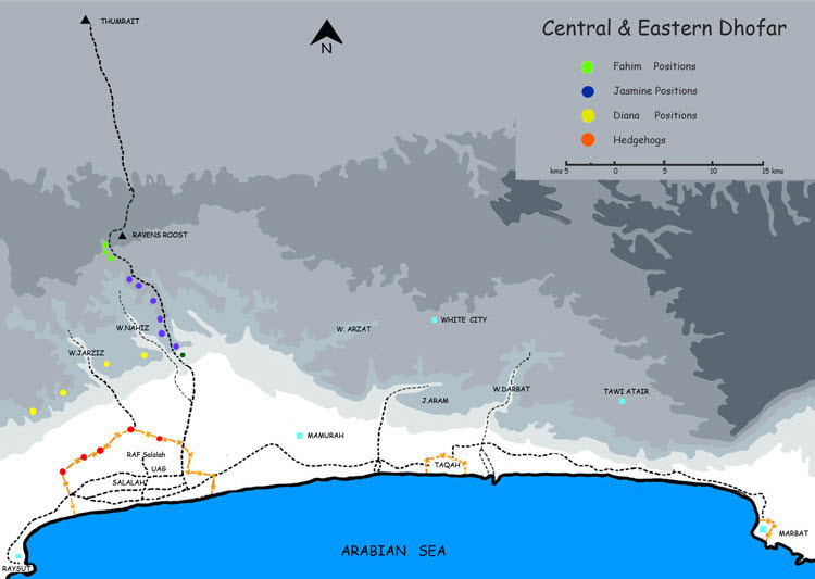
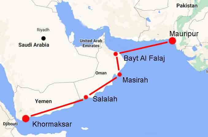
The maps below were given to Paul C whilst he was in Oman. They were the usual maps that every man and his dog used and give a general idea (!) of where the major features were situated.

I imagine that were you to be on foot and expected the next wadi to be 500m distant you might well be disappointed and need “to go a little further”.

[pdf-embedder url=”https://www.55fstramc.com/wp-content/uploads/securepdfs/MAP001.pdf”]Western Dhofar

[pdf-embedder url=”https://www.55fstramc.com/wp-content/uploads/securepdfs/MAP002.pdf”]Eastern Dhofar

I am grateful to Paul for digitising these maps and making them available.

They can be manipulated to increase the contrast or to sharpen up the resolution if desired

Sn Sarfait 750x507 Web
Western Dhofar 23 Nov 22 Web 750x544
Sherishitti Sh 980 Deefa 750x656
Sherishitti Caves
Dianas Web 600
Sn Hawf 750x507
Hawf