
Photographs of the Sultanate of Oman 1974-76
Northern Oman

Northern Oman Jebel Akhdar Summary and Thumbnail photograph links
LINKS
Coast to Jebel
Jebel Akhdar
Sayq Area
Travel into the interior was restricted in 1974 to military and those with permits. Beyond Rissayl (near Seeb Airport) roads were graded, and when it rained vehicles had to wait for the ‘flash floods’ in wadis to abate. Often crossing points were washed away.
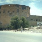
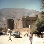
Towns and villages were strategically located, most with forts or observation towers, and the local ‘Wali’ administered his area and infrastructure. His own local askaris (police) guarded the setlements and forts. Quotas of recruits for the services were a responsibility of each area administration.
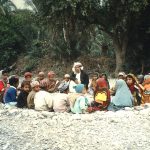
When travelling a military guard was necessary, and soldiers from the area were used whenever possible. It was normal to visit the local dignatory to explain the purpose of being in their area. Local populations proved to be most hospitable, and it was essential to accept the inevitable ‘fudhil’ of ‘cahwha’ (local coffee) and fruit/melons/dates etc.
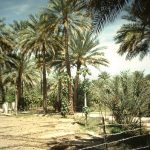
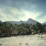
Water was supplied to villages by ancient yet well maintained ‘falaj’ systems or wells, and irrigated agricultural ‘gelbas’ were well cultivated. Alfalfa and other crops, fruit growing and livestock (goats, sheep, and some cattle) were major sources of subsistance.
Select a thumbnail photograph for a larger view.
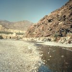
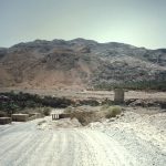
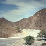
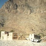
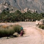
The Sayq section also relates to the Jebel Akhdar, but at that time was only accessible by air or a laborious climb on foot from a wadi near Nizwa on the south side of the mountains.
Copyright © 2013 kDesign
EMAIL: post@bizness.co.uk
Web Site 3rd Edition