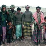
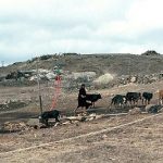
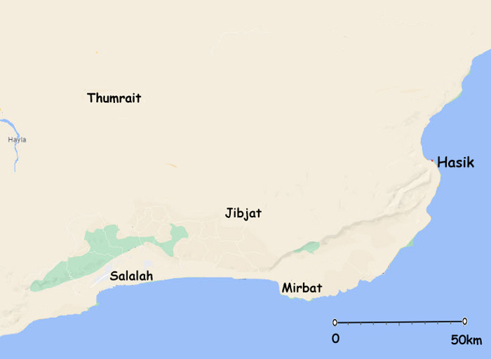
The East Jebel area is considered on this site as east of the Salalah to Thumrait (Midway) road and does include Tawi Attair but since Tawi area was possibly considered as the ‘model’ of initial Civil Aid provision it has its own pages on this web site.
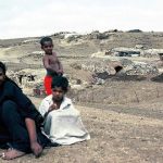
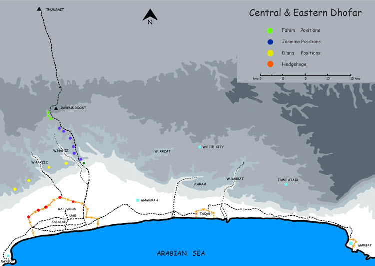
This part of the site deals with no less important strategic locations where considerable rebel activity took place and even had sporadic opposition activity even during 1976.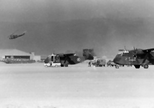
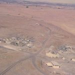
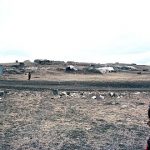
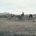
The locations are represented by the names below photograph thumbnails.
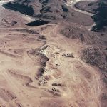
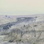
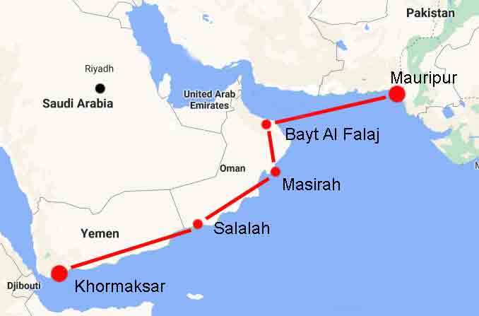
The photograph highlights Salalah airfield from which the CAD department relied on support for travel to many of the locations and the provision of varying degrees of supplies and aid.